


We Still Need Paper Maps
There's more to navigation than getting from point A to point B.

I keep an old paper road map of Ontario in my car. It’s an odd enough sight that several adult passengers have commented on it, asking why I’d bother with something so archaic. But the map has proven helpful on long drives when my kids ask, “Are we there yet?” I can pull out the road map, show them where we are and how much further we have to go. The map gives them a bigger perspective on the journey we’re making.
Inevitably, they ask to take a closer look, and we end up discussing various towns, provincial parks, bodies of water, and highways that they recognize. They pore over the map, getting a bird’s-eye view of their vast home province and putting points in relation to each other. I take for granted the fact that I already have that big-picture perspective, having grown up using paper maps; but unless my kids spend time looking at maps, too, it is hard for them to understand how geographic locations fit together.
The GPS technology on my phone and in my car is incredibly advanced and has helped to get me out of confusing places many times, but I hate how small the screen is, how it shows only the immediate vicinity of one’s location. Nor does it develop a true sense of direction because it always swivels around to go up or forward, regardless of north-south-east-west. This is an erosion of perspective that is at odds with our primal human instinct to navigate and locate ourselves in the world.
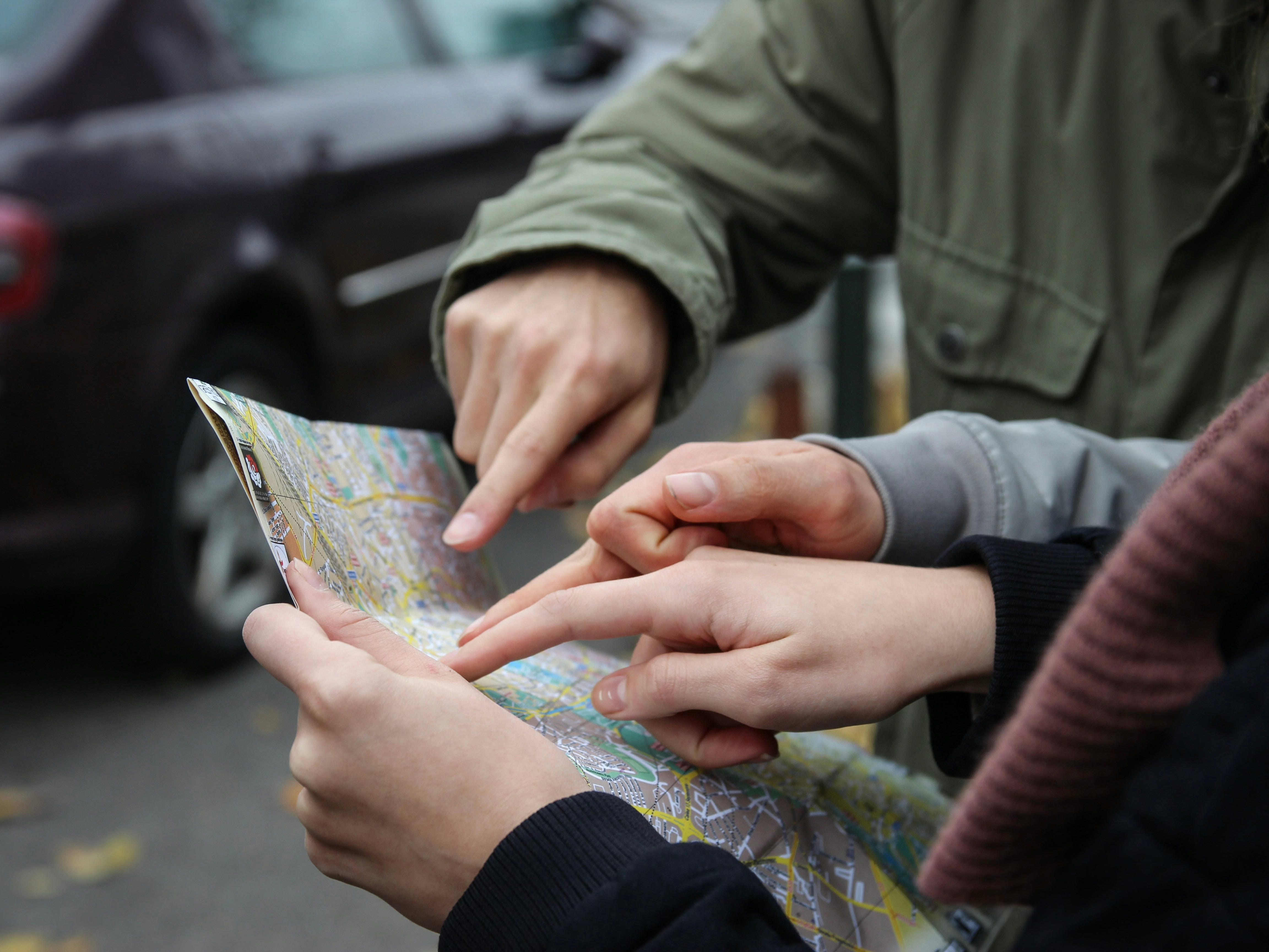
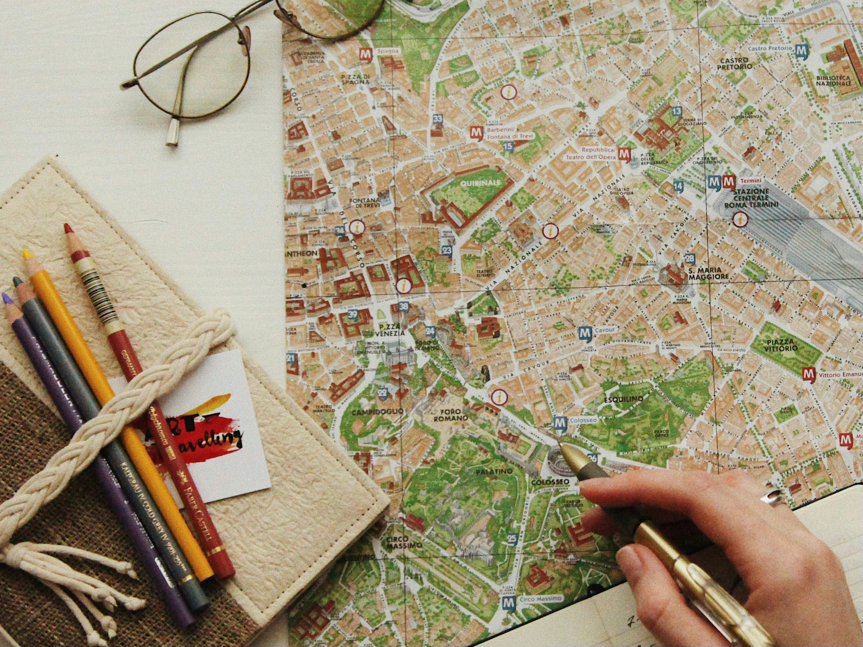
That is why, whenever I arrive in a new city or country, I try to get my hands on a paper map, and then I spend time studying it. Within minutes, I feel somewhat better oriented; I have a rough sense of how a city is situated in relation to a river or ocean, where major neighbourhoods are in relation to each other, what direction I should walk to reach the places I want to visit, and which route might be more scenic.
Maps do more than orient a person. They also spark imagination, curiosity, and wonder. As a child, I had National Geographic maps taped to my bedroom walls and spent time staring at foreign countries, becoming familiar with their shapes and strange-sounding names. This made me eager to travel, because I wanted to see the places whose names I’d grown familiar with.
I put a laminated world map in my kids’ bedroom, and they sit in front of it, staring, absorbing, asking questions. A child who looks at a world map realizes what a tiny corner of the Earth they inhabit, relative to everything else. It is a humbling experience. Travel, of course, takes that to a whole other level, but it can start with observation from the comfort of one’s home.
I love how maps can lead to serendipitous encounters, too. Thanks to that birds-eye perspective, you’re more likely to see something interesting along a route and say, “Hey, let’s check that out,” than if you’re zoomed into a preprogrammed GPS route with an estimated arrival time. Maps are conducive to wandering, poking around, slowing down, something we could all benefit from doing more often.
A couple I met at a dinner party recently told me they take their kids on “left-right” tours, where they drive for several hours, then ask their kids which direction they should turn. They continue driving for several more hours and then ask the same question again. They stop at tourist information centres, look at maps, read brochures, figure out what random interesting thing they might like to do. They said they discover amazing things and have a ton of fun. I love that idea; it sounds like the antithesis of a GPS-driven journey, which is all about finding the fastest, most direct, most efficient route to get somewhere.
I’m also a fan of topographic maps, since I grew up in Muskoka, a remote forested area in Ontario that is filled with thousands of lakes. My dad taught me how to interpret these beautiful maps, with their contours and swirling lines to indicate elevation and depth. They reveal hidden swamps and lakes, and as a teenager, I’d often pick one as a destination for an afternoon hike or snowshoe excursion.
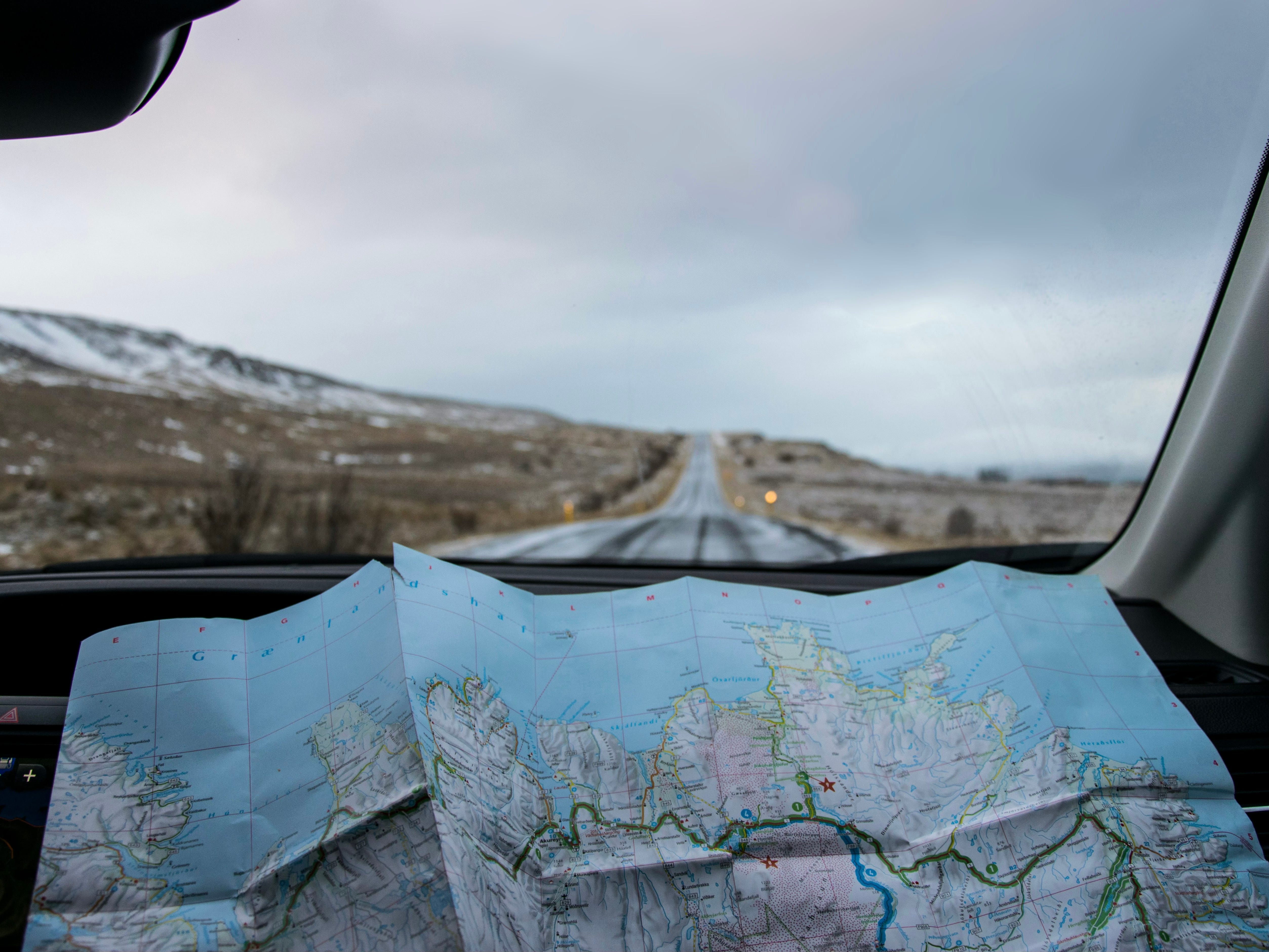
Topographic maps are crucial for the multi-day canoe trips my family takes each summer. They depict the paddle and portage routes that get us where we want to go, deep within Algonquin Provincial Park. Out in the backcountry, there is no phone reception, nor would I want to risk dropping my phone in a lake while balancing in a canoe. A map is a much safer, simpler, and smarter tool to use.
There is value in diversifying our navigation skills. In the talks I give on kids and technology, I maintain that the safest child is the one who can handle themselves in the world without relying on a device to do so. So much can go wrong with a phone; it can break, fall in a puddle, run out of charge, get stolen. And unless a child knows how to get from point A to point B on their own, they’re going to have a rough time. (The same applies to adults!) Looking at paper maps—and the general familiarity that gives to one’s place in the world—can help.
Related Read: Want Kids to Be Safe? Then Ditch Their Smartphones
Call me a luddite if you want, but we should not be so quick to reject paper maps, just because we have a new, flashy alternative in the form of Google Maps or its equivalent. There is no reason why these different forms cannot coexist, or why we wouldn’t recognize that paper maps can do things phone maps cannot. In a world steeped in digital devices, there’s something profoundly satisfying about unfolding, handling, tracing a paper map with your fingers. Try it and you’ll see.
I agree. Just mapping my journey with a highlighter, tangibly holding the map and seeing all around my route is so fun and helpful!!
I love this. I was a 90s kid, but never learned how to read a map because car-mounted GPS were already a thing by the time I started driving. (I used MapQuest in the early days though.) I love the idea of encouraging wanderlust in my kids with paper maps. My daughter isn't quite 3, and already pays a ton of attention to her surroundings when we're in the car. I think she'd love looking at a map even if she can't understand it yet. And I'd love to learn how to navigate without having to use a device.
Saving this post!